Understanding Weather Radar Technology

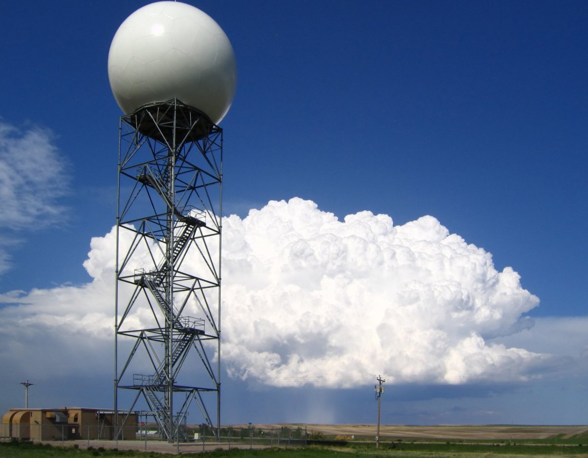
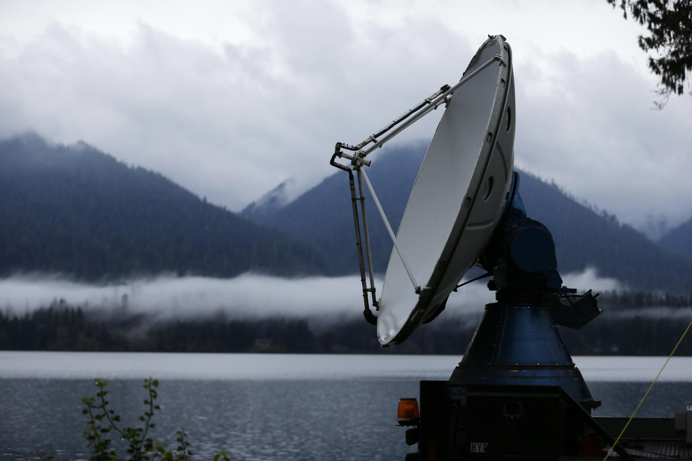
Weather radar, a sophisticated tool employed in meteorology, enables the detection, tracking, and measurement of precipitation and other atmospheric phenomena. Its operation is based on the principles of electromagnetic wave emission and reflection.
Weather radar systems emit electromagnetic waves at specific frequencies, typically in the microwave range. When these waves encounter objects in the atmosphere, such as raindrops, hailstones, or snow, a portion of the energy is reflected back towards the radar receiver. The strength and characteristics of the reflected signal provide valuable information about the size, shape, and movement of the precipitation particles.
Types of Weather Radar Systems
Various types of weather radar systems exist, each designed for specific purposes and applications. Some common types include:
- Doppler radar: Measures the velocity of precipitation particles, providing information about wind patterns and storm intensity.
- Polarimetric radar: Determines the shape and orientation of precipitation particles, enabling the differentiation between rain, hail, and snow.
- Phased-array radar: Employs multiple antennas to create a focused beam, improving spatial resolution and accuracy.
Advantages and Limitations of Weather Radar
Weather radar offers several advantages for weather forecasting:
- Real-time monitoring: Provides continuous updates on precipitation patterns, allowing for timely weather warnings and advisories.
- Wide coverage: Can cover large areas, providing a comprehensive view of weather conditions over a region.
- Non-invasive: Does not interfere with atmospheric processes, making it a safe and unobtrusive method for weather observation.
However, weather radar also has limitations:
- Limited penetration: Electromagnetic waves can be attenuated by dense precipitation, reducing visibility and accuracy.
- Ground clutter: Reflections from the ground and other non-precipitation objects can create interference, especially at low altitudes.
- Interpretation challenges: Skilled meteorologists are required to interpret radar data and distinguish between different types of precipitation and atmospheric conditions.
Interpreting Weather Radar Data

Weather radar data provides valuable insights into current and impending weather conditions. By understanding the principles of weather radar technology and learning to interpret the images it produces, we can gain a comprehensive understanding of precipitation patterns, storm movements, and potential severe weather events.
Color Schemes and Symbols, Weather radar
Weather radar images use color schemes and symbols to represent the intensity and type of precipitation. Typically, shades of green, yellow, orange, and red indicate increasing precipitation intensity. Symbols such as circles, triangles, and squares may represent hail, tornadoes, and other hazardous weather conditions.
Predicting Precipitation
By analyzing the color patterns and movement of radar echoes, we can predict the location, intensity, and duration of precipitation. Radar data helps us identify areas of heavy rainfall or snowfall, allowing us to issue timely warnings and prepare for potential flooding or snow accumulation.
Storm Movement and Severe Weather Events
Weather radar is crucial for tracking storm movements and predicting the potential for severe weather events. By observing the direction and speed of radar echoes, we can determine the path of storms and identify areas at risk for tornadoes, hail, and damaging winds.
Weather radar, a watchful eye in the sky, scans the heavens for signs of impending storms. As the clouds gather, we turn to its guidance, seeking reassurance or a timely warning. For those in Louisville, Kentucky, the latest weather updates are just a click away.
Weather Louisville KY provides real-time forecasts, radar images, and alerts, empowering us to navigate the ever-changing weather with confidence. With this knowledge at our fingertips, we can embrace the symphony of nature, whether it brings gentle showers or the rumble of thunder.
With weather radar technology at our fingertips, we can now track the movements of storms and cyclones with precision. For instance, if you’re curious about the whereabouts of Hurricane Beryl, you can simply click here to find out its current location.
Weather radar has revolutionized our ability to predict and prepare for extreme weather events, making it an indispensable tool for meteorologists and disaster management teams alike.